Mapping an empire without maps
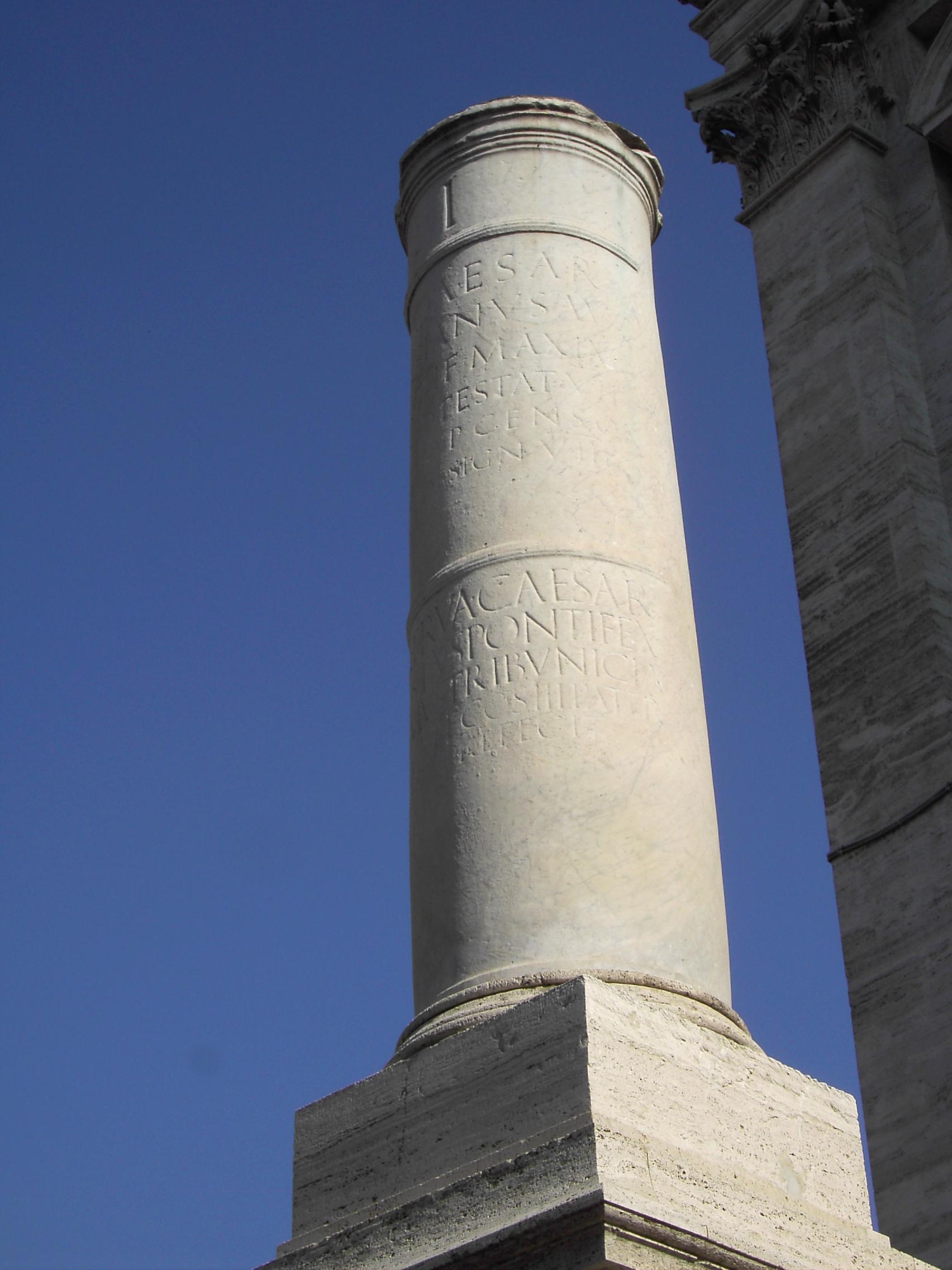
Julius Caesar and Mark Antony hired surveyors to compile a master itinerary. It took over 25 years, then they engraved it in stone near the Pantheon.Roman roads: Itineraries—the ancient route planner
How travelers navigated
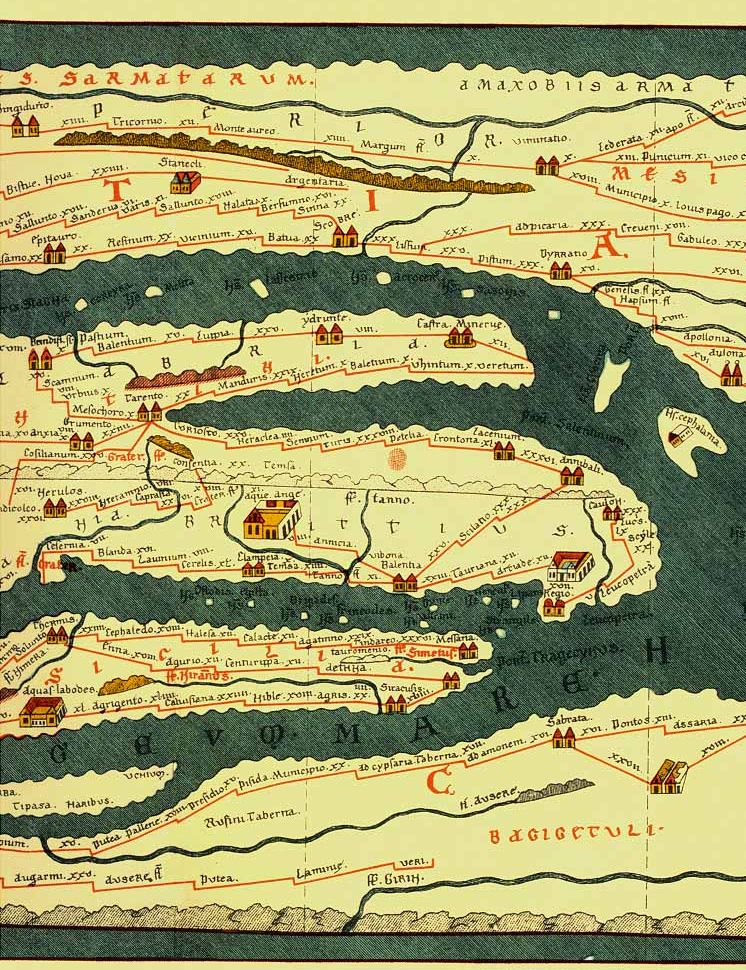
People used itineraria. From them grew a schematic route‑planner, like the Tabula Peutingeriana.Roman roads: Itineraries—the ancient route planner