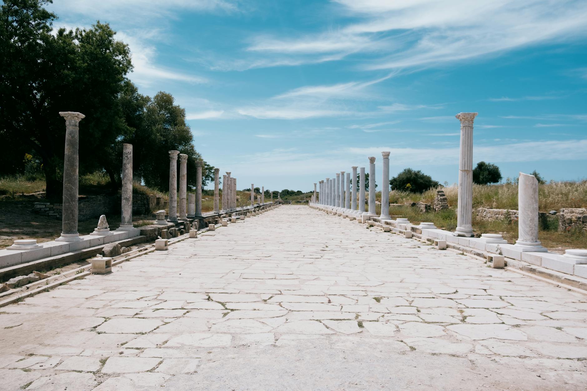
The empire ran on stone
At its peak, Rome laced more than 400,000 kilometres of roads across its world, with over 80,500 kilometres stone‑paved. From the capital, 29 great military highways fanned out; 372 great roads tied 113 provinces together.Roman roads: The 400,000‑kilometre network
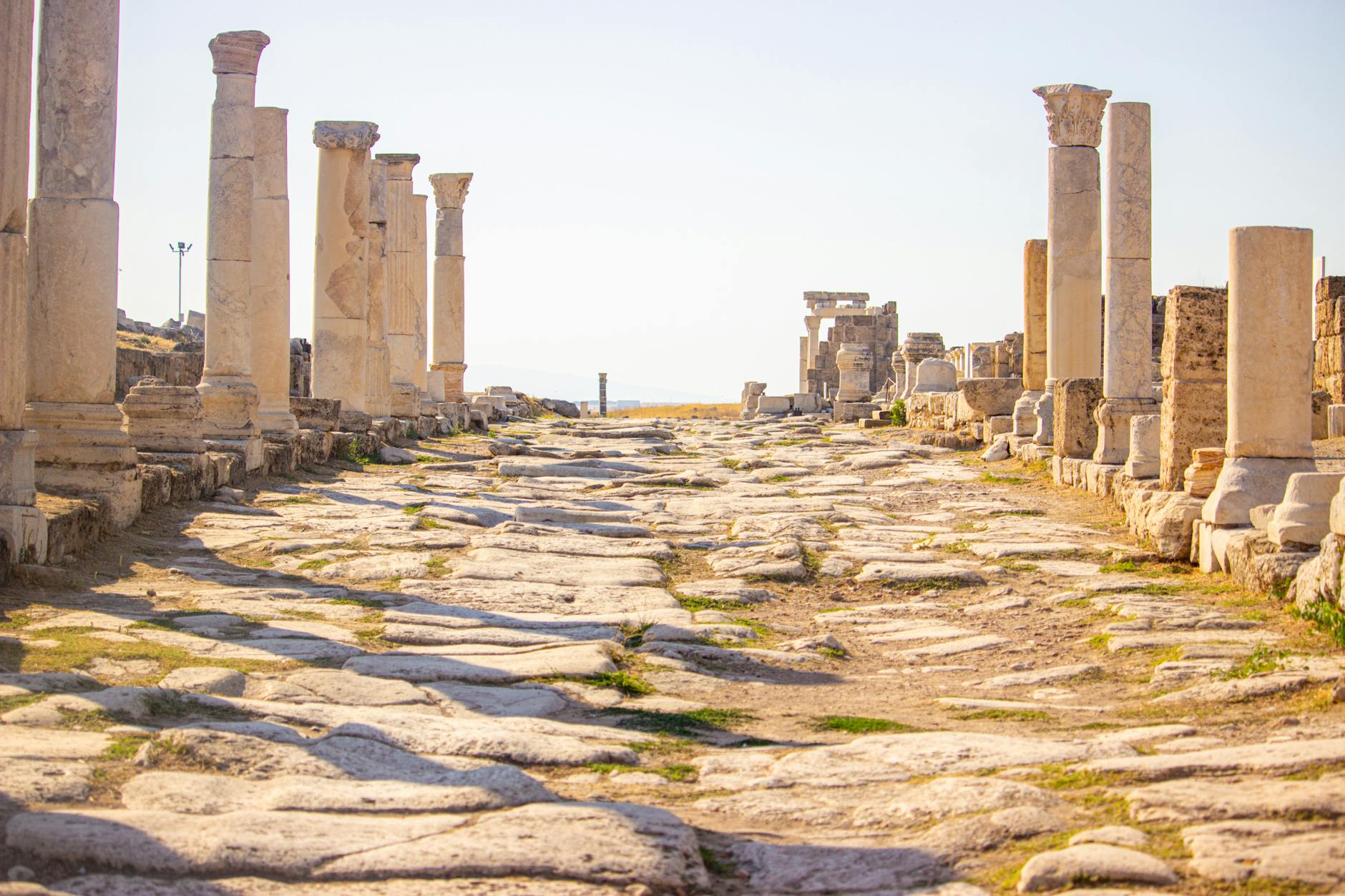
Built for speed and strength
Major roads were stone‑paved, cambered, and flanked by footpaths and ditches. Surveyors plotted straight lines, then cut through hills or bridged rivers rather than detour.Roman roads: The 400,000‑kilometre network