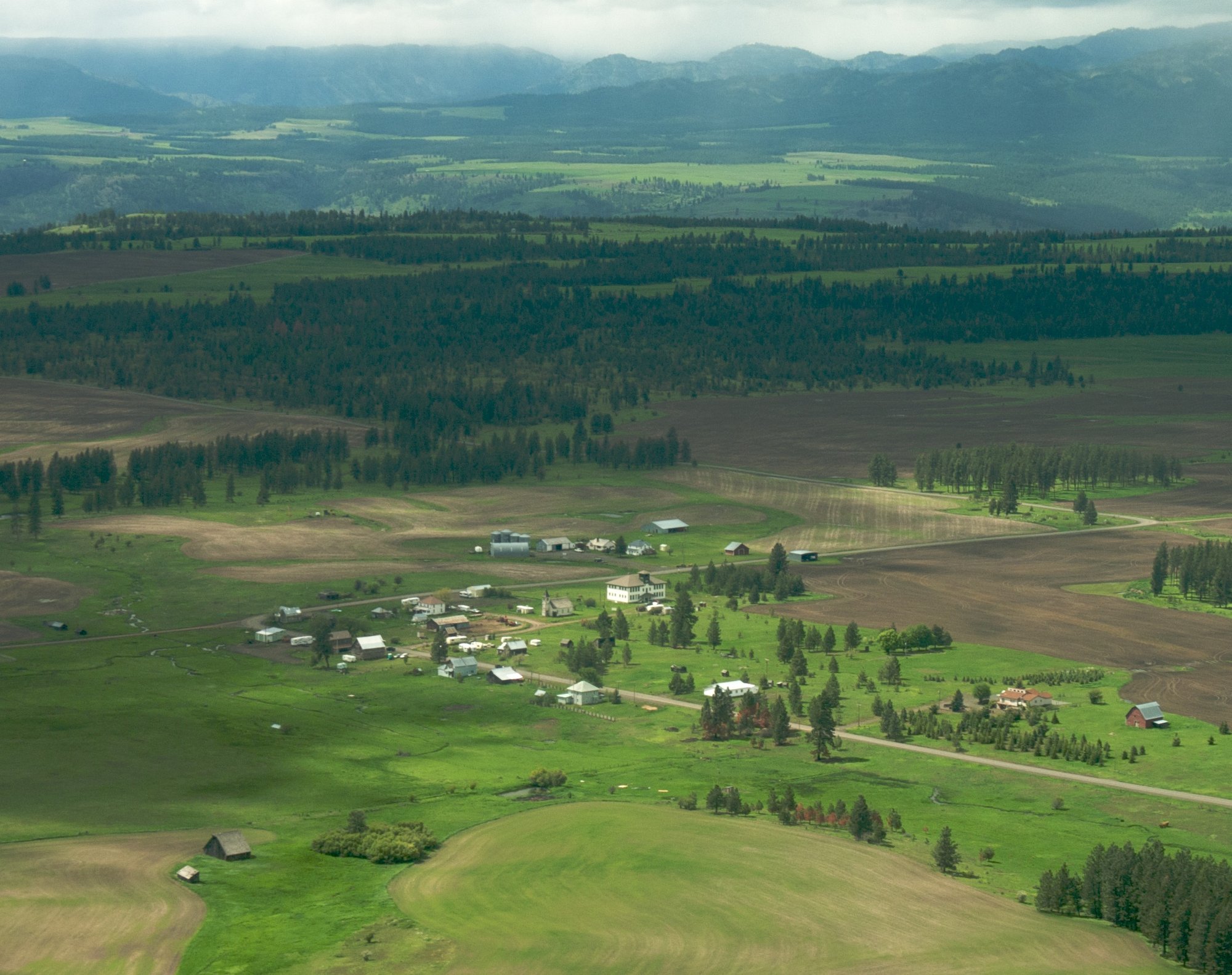
Full article · 7 min read
Why “Settlement” Means Different Things in Different Places
At first glance, the word settlement sounds simple: a place where people live. But once governments, geographers, and statisticians start classifying places, things get complicated fast. A settlement can be a homestead, hamlet, village, town, or city, and those labels do not translate neatly from one country to another.
That is why a place described as a town in one country might be treated as a village somewhere else, while a large town in another system could qualify as a city. The word itself is broad, but the categories built around it are shaped by local rules, national history, and the purpose of the data being collected.
What a settlement actually is
A settlement, also called a locality or populated place, is a community of people living in a particular place. It can be very small, with only a few dwellings grouped together, or extremely large, extending into major cities and surrounding urbanized areas. In geography, statistics, and archaeology, the term is used in ways that overlap but are not always identical.
A settlement is also more than a cluster of homes. It can include constructed features such as roads, enclosures, field systems, boundary banks and ditches, ponds, parks, woodlands, windmills, watermills, manor houses, moats, and churches. In other words, when people settle somewhere, they shape the landscape around them.
This is one reason the term is so useful: it describes human presence in a broad way, without automatically locking a place into one legal or administrative category.
Why definitions vary so much
There is no single global rulebook for classifying settlements. Different countries and agencies use different labels, thresholds, and systems.
In Australia, Geoscience Australia defines a populated place as a named settlement with a population of 200 or more persons. In Bosnia and Herzegovina, the national statistics agency uses the terms populated place or settled place for rural places, while municipality and city are used for urban areas. In Croatia, population is recorded in units called settlements, or naselja. In Sweden, Statistics Sweden uses the term localities for densely populated places, often translated into English as urban areas.
Even when countries use similar-looking words, they may not mean the same thing. In the United Kingdom, the term urban settlement is used when analyzing census information, while in Scotland settlements are defined as groups of one or more contiguous localities. Contiguous means touching or connected, so the definition depends partly on how built-up areas physically join together.
These differences matter because they affect how places appear in official records, maps, and population counts.
The same place can have multiple identities
One of the most important ideas in settlement classification is that the label depends on the purpose. A place may be categorized one way for statistics, another way for administration, and another way for geographic analysis.
That is especially clear in the United States. The United States Geological Survey identifies three different classes connected to human settlement:
- Populated place: a place or geographic area with clustered or scattered buildings and a permanent human population
- Census: a statistical area created for counting people and organizing Census Bureau data
- Civil: a political division formed for administrative purposes
A statistical area is drawn mainly to measure population. An administrative division exists to govern. A populated place is more about the real-world presence of people and buildings. These categories can overlap, but they do not have to match.
This means a place can be real and recognizable to residents, yet have boundaries that differ depending on whether a mapmaker, census office, or government agency is defining it. In the U.S. system, a populated place is usually not incorporated and has no legal boundaries by definition, though it may correspond to a civil record whose legal boundaries may or may not line up with how people commonly understand the place.
Why statisticians and geographers care so much
Settlement definitions are not just bureaucratic word games. They shape how governments count people, compare regions, plan services, and understand urbanization.
Global urbanization has accelerated dramatically in recent decades. According to the United Nations' World Urbanization Prospects 2025, 45% of the world’s 8.2 billion people now live in cities, 36% live in towns and semi-urban areas, and 19% live in rural regions. The same report projects that nearly two-thirds of global population growth between 2025 and 2050 will occur in urban areas.
Those numbers only work if places are classified somehow. But because countries define settlements differently, international comparisons are never as simple as they first appear. A label such as city or town can reflect different thresholds and different traditions depending on where you are.
This also connects to the idea of a settlement hierarchy. In landscape history and geography, settlements can be ordered by size, centrality, or other factors. Centrality refers to how important a place is as a center for surrounding areas. A settlement hierarchy helps organize places from smaller to larger or from less central to more central. But even here, the naming can vary: a “town” in one national hierarchy may not correspond to a “town” in another.
Settlement labels depend on what is being measured
When officials classify places, they are usually trying to answer a specific question.
If the goal is population counting, the categories may be built for census use. A census is the official counting of a population, often paired with data about housing and other characteristics. So a census area may be drawn specifically to make counting easier and more consistent.
If the goal is administration, labels may follow political boundaries such as counties, boroughs, municipalities, parishes, or townships. These are governmental units, not necessarily reflections of how the built environment looks on the ground.
If the goal is geography or spatial analysis, the emphasis may be on where buildings actually cluster, how densely an area is occupied, or how infrastructure spreads across the landscape.
That is why the same location can look different depending on who is counting and why. One agency may focus on legal boundaries, another on built-up land, and another on population density.
How modern mapping systems define settlements
In geospatial predictive modeling, a settlement is defined as a city, town, village, or other agglomeration of buildings where people live and work. An agglomeration is simply a built-up cluster or concentration of structures and activity.
This kind of definition is especially useful when working with large datasets and satellite imagery. The Global Human Settlement Layer, or GHSL, produces global spatial information about human presence over time. It generates built-up maps, population density maps, and settlement maps using fine-scale satellite imagery, census data, and volunteered geographic information.
The system is designed to process data automatically and report on the presence of population and built-up infrastructure in an objective and systematic way. It also operates with open access to data and methods. That makes it a powerful example of how modern settlement mapping goes beyond simple place names and starts measuring how humans occupy land across the planet.
A settlement is also a historical footprint
Settlement is not just a modern statistical concept. It also has a deep historical and archaeological side.
Some settlements have known historical properties, such as the date or era when they were first settled, or when they were first settled by particular people. Archaeology studies not just living settlements but abandoned ones too. War, erosion, and the fall of great empires can all lead to abandoned settlements, leaving behind relics that can be studied later.
The term ghost town is often used for a town whose economic base has failed or which was damaged by government action, flooding, lawlessness, war, or other disasters. Sometimes the structures are still accessible, and these places may even become tourist attractions. Yet classification can still be tricky: a place that looks like a ghost town may still be defined as a populated place by government entities.
That detail reveals something important about settlement labels. They are not only about appearances. They also depend on rules, records, and the purpose of the classification system.
The big takeaway: names are local, categories are functional
When people hear words like village, town, city, locality, or populated place, it is tempting to assume they refer to fixed universal categories. They do not. Settlement definitions are practical tools, and those tools are built differently in different places.
Some systems emphasize population thresholds. Some focus on administrative status. Some are meant for census reporting. Others are designed for geography, landscape history, or satellite-based modeling. That is why settlement labels can shift depending on context.
So if one country calls a place a town and another would call a similar place a village, that does not mean one of them is wrong. It means settlement classification is shaped by local standards and by the question being asked. The map changes with the method.
Sources
Based on information from Human settlement.
More like this
Maps change with the method — so does what you discover. Download DeepSwipe and keep exploring the world, one smart swipe at a time.


