Everest isn’t farthest from Earth’s center
Earth is about 43 km wider across the equator than from pole to pole. That bulge changes which peaks reach farthest into space.Earth: Shape Shocks—Bulges, Peaks, and the Geoid
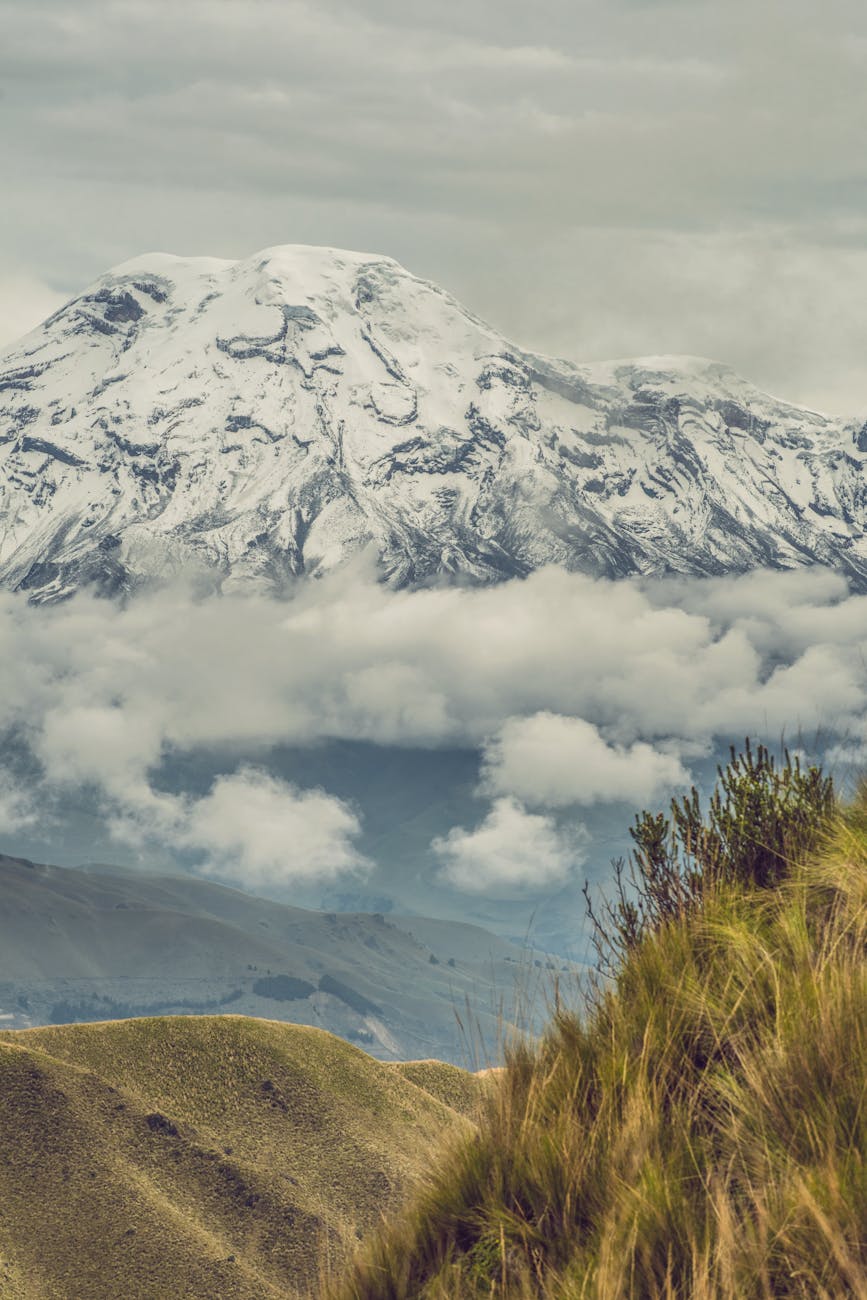
Chimborazo wins that race
Ecuador’s Chimborazo, near the equator, is the farthest point from Earth’s center. Everest remains the tallest above sea level.Earth: Shape Shocks—Bulges, Peaks, and the Geoid