It is hard to imagine today’s Sahara as anything but a vast desert. Yet thousands of years ago, this region looked dramatically different. After the Ice Ages, the Sahara became a green and fertile landscape, drawing people back into areas that had once been harsh and difficult to inhabit. What is now known for dunes and arid heat once supported human communities, animals, and a very different way of life.
This transformation is one of the most striking examples of how climate can reshape an entire region. It also helps explain why prehistoric rock art in the Sahara shows scenes that feel almost unbelievable when compared with the modern desert.
Watch the story on DeepSwipe
A fertile Sahara after the Ice Ages
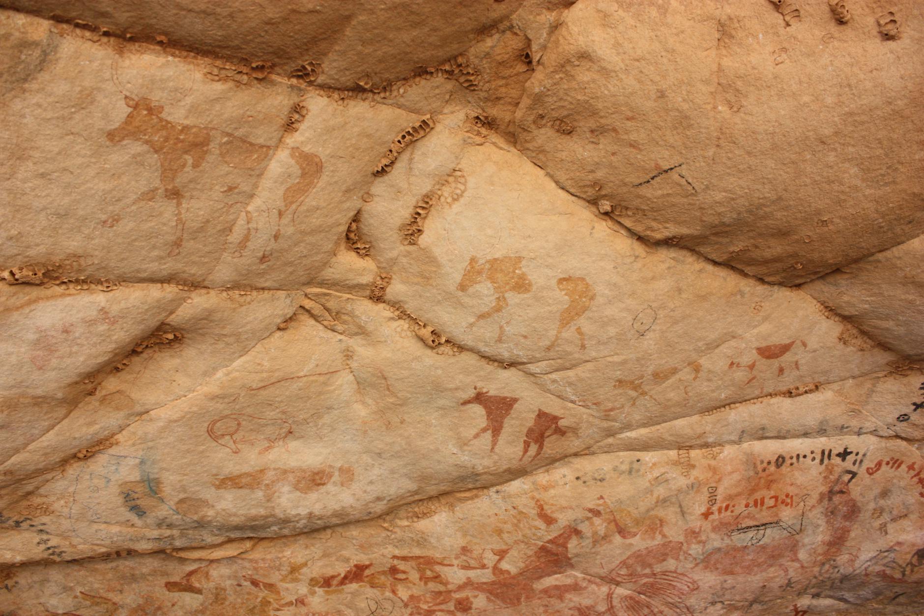
At the end of the Ice Ages, estimated to have been around 10,500 BC, the Sahara had once again become a green fertile valley. Populations returned from the interior and coastal highlands of Africa, moving into a landscape that could support life far more easily than the desert seen today.
This greener Sahara was not just a small environmental shift. It represented a major opening of land for human settlement. Evidence of early human presence from this period appears in rock art and archaeological traces found across the region. These clues reveal that the Sahara was once home to substantial populations living in conditions very different from those of the present.
The proof painted on stone
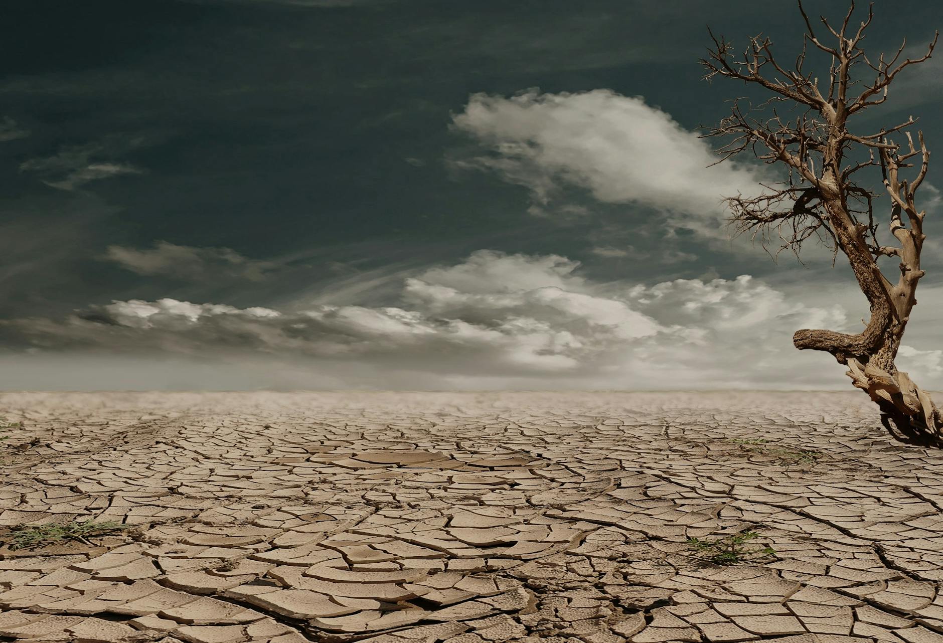
One of the most powerful windows into this lost world is the rock art of Tassili n'Ajjer in present-day Algeria. This plateau is famous for prehistoric paintings that preserve scenes from a time when the Sahara was fertile. Some of these artworks may date back around 10 millennia.
Rock art is exactly what it sounds like: images painted or carved onto stone surfaces. In places like Tassili n'Ajjer, it can preserve snapshots of ancient life long after other evidence has vanished. These paintings are especially important in Africa, where oral tradition has long been central to preserving knowledge and history, and where visual traces like rock art offer another way to glimpse the past.
The paintings from the Sahara suggest a region with rich natural life and larger human populations. They are a reminder that landscapes we think of as permanent can change enormously over time.
Why the Sahara changed
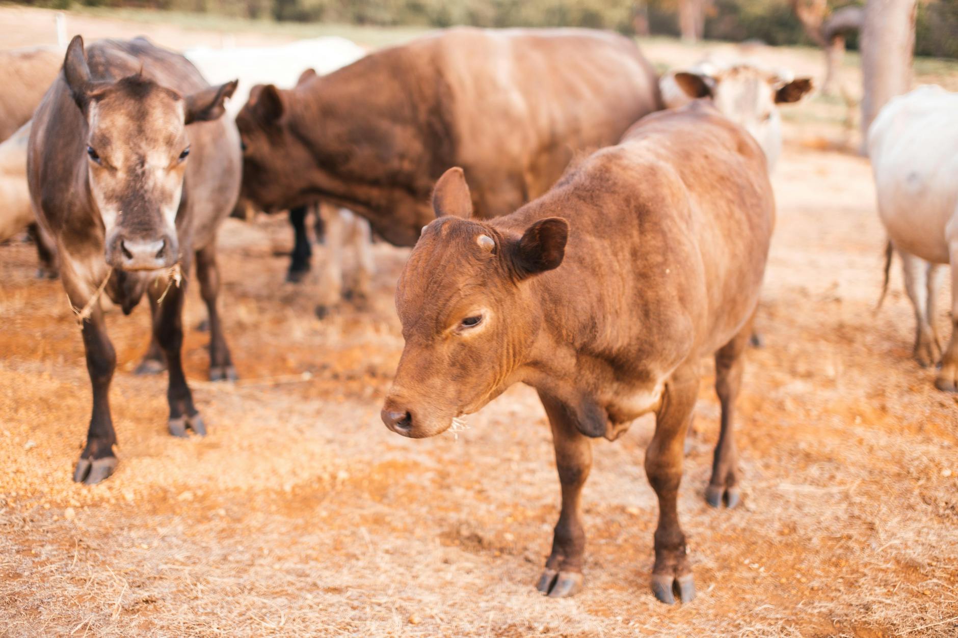
The green Sahara did not last. Over time, the climate warmed and dried. By 5,000 BC, the Sahara region was becoming increasingly dry and hostile. Then, around 3500 BC, the area experienced a period of rapid desertification caused by a tilt in Earth’s orbit.
Desertification means land becoming more desert-like as vegetation declines and the environment grows drier. When this happens on a large scale, the effects can be severe: water becomes scarce, plant life fades, and both people and animals are forced to move or adapt.
The change in the Sahara was not gradual enough to go unnoticed. It was a powerful climate shift that transformed a once-habitable region into one of the world’s most famous deserts. This makes the Sahara a dramatic case study in long-term environmental change.
Cattle before crops
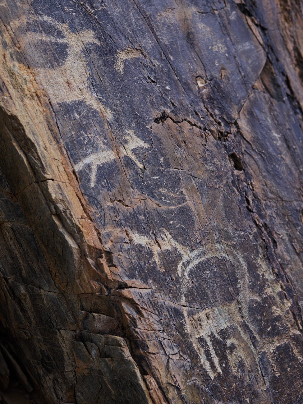
One of the most surprising details from prehistoric Africa is that the domestication of cattle came before agriculture in some regions and existed alongside hunter-gatherer cultures. In North Africa, cattle may have been domesticated by 6,000 BC.
Domestication means that humans began managing and breeding animals rather than only hunting them in the wild. Agriculture, by contrast, refers to the cultivation of crops. The fact that cattle herding appears before farming in this context challenges the simple idea that ancient societies always moved in a straight line from hunting to farming to herding.
Instead, lifeways could overlap. Hunter-gatherers did not instantly disappear when herding emerged. Different ways of obtaining food coexisted, and people likely adapted their strategies to local conditions. In a greener Sahara, herding would have made sense in a landscape with grass and water available for animals.
A crossroads of movement and settlement
The Sahara was not just an empty background to human history. During various humid phases, it served as both a passageway and a place of dwelling for people in Africa. In other words, when conditions were wetter, the Sahara connected regions that later became separated by desert.
That matters because geography shapes migration, trade, and cultural contact. A fertile Sahara would have allowed movement and settlement across spaces that later became much harder to cross. As the region dried out, those routes and patterns of life changed as well.
This is one reason the Sahara’s environmental history is so important. It is not only a story about weather. It is also a story about where people could live, where they could travel, and how communities formed and shifted over time.
The wider setting: Africa’s climate extremes
Africa is the hottest continent on Earth, and about 60% of its land surface consists of drylands and deserts. Today, the Sahara dominates the northern half of the continent, helping define Africa’s climate and ecology. But the story of the green Sahara shows that even Africa’s largest desert has not always looked the same.
Across the continent, climate ranges from tropical zones to arid deserts and even subarctic conditions on the highest peaks. Between these extremes are regions such as savanna and steppe. A steppe is a dry grassland, while the Sahel is a transitional belt where vegetation patterns bridge the desert and more fertile lands further south.
Understanding the Sahara’s past helps make sense of this wider environmental diversity. Africa’s landscapes have always been dynamic, and the Sahara’s history is one of the clearest examples of that dynamism.
What the buried past still tells us
The idea that ancient scenes of rivers and wildlife remain hidden across today’s dunes is compelling because it captures a deeper truth: the modern desert covers the traces of a radically different past. Even where direct evidence is limited, the surviving rock art and environmental clues point to a Sahara that once sustained far more life than it does now.
That hidden history also fits into a broader African story. Africa is considered by many paleoanthropologists to be the oldest inhabited territory on Earth, and Eastern Africa is widely accepted as the place of origin of humans and the Hominidae clade, also known as the great apes. The continent’s past is long, complex, and varied, and the green Sahara is one chapter in that vast story.
A reminder written in sand and stone
The Sahara’s transformation from fertile land to desert is a reminder that climate can redraw the map of human possibility. Around 10 millennia ago, the region supported life in ways that now seem almost unimaginable. By 3500 BC, orbital changes had helped trigger rapid desertification, and the world of the green Sahara gave way to the sands we know today.
Yet the past was not erased completely. In places like Tassili n'Ajjer, paintings remain as witnesses to rivers, wildlife, and human communities that lived where dunes now stretch to the horizon. Those images are more than art. They are evidence that even the harshest landscapes can have unexpectedly lush histories.
And perhaps that is what makes the green Sahara so fascinating: it reveals a lost Africa hidden beneath one of the planet’s most iconic deserts.