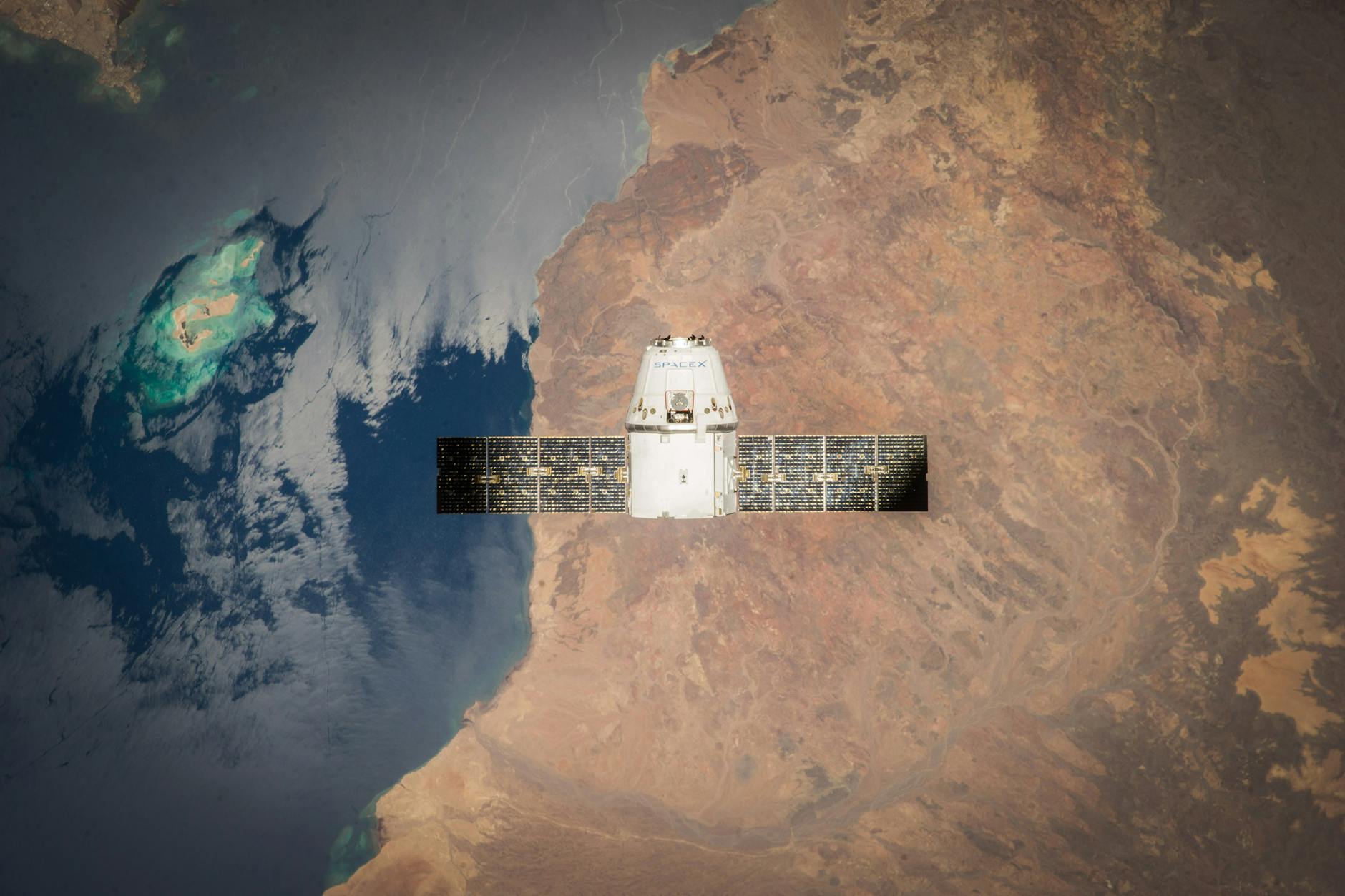
Satellites now track settlement worldwide
Geospatial modeling treats a settlement as a city, town, village, or other grouping of buildings where people live and work. The goal is to map human presence across the planet.Human Settlement Mapping
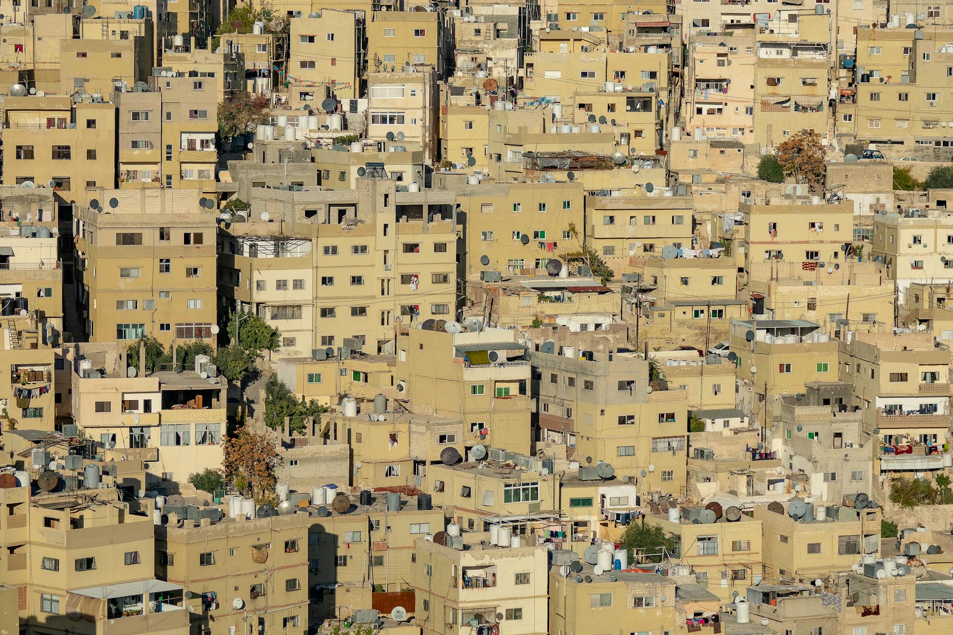
One system maps people and buildings together
The Global Human Settlement Layer creates built-up maps, population density maps, and settlement maps over time. It combines satellite images, census data, and volunteered geographic information.Human Settlement Mapping
