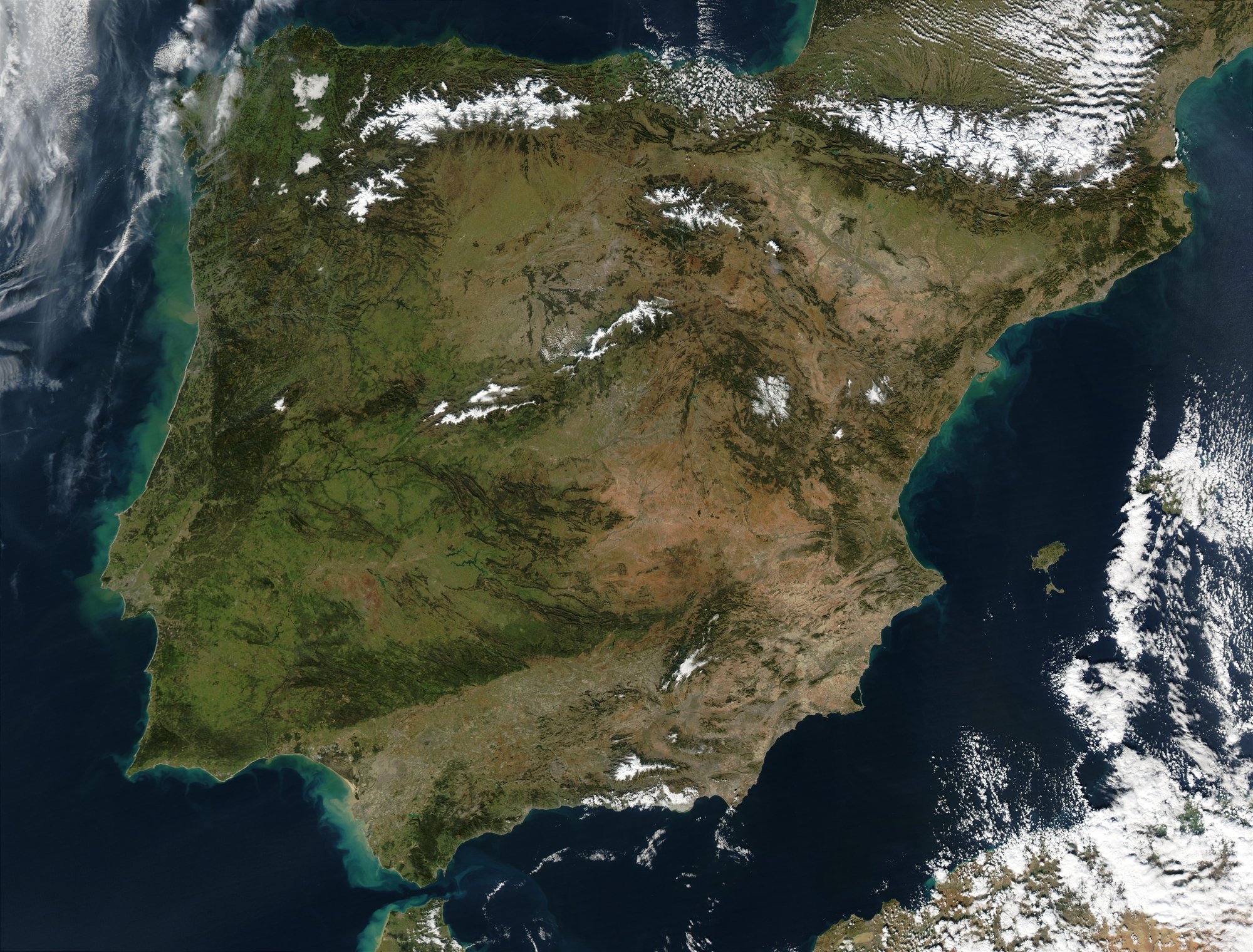
Satellite image of the Iberian Peninsula in January 2003 taken by the MODIS instrument on board NASA's Aqua satellite. NASA's description: The Iberian Peninsula, home to the countries of Spain and Portugal, stretches toward North Africa in this true-color Aqua MODIS image from January 24, 2003. Portugal sits on the Atlantic side of the peninsula, while Spain takes up the rest and shares a border with France to the northeast. At the bottom of the peninsula is a narrow gap between Europe and North Africa. This gap is the Strait of Gibraltar, which also serves as the buffer between the Atlantic Ocean and the Mediterranean Sea. The northern point of Morocco occupies the other side of the Strait, and farther to the east is northern Algeria.

A kingdom lasted 781 years

Al-Andalus lasted from 711 to 1492 in Iberia. At its height, it covered most of Spain and Portugal, and even parts of southern France.

Al-Andalus: 781 Years of Muslim Iberia

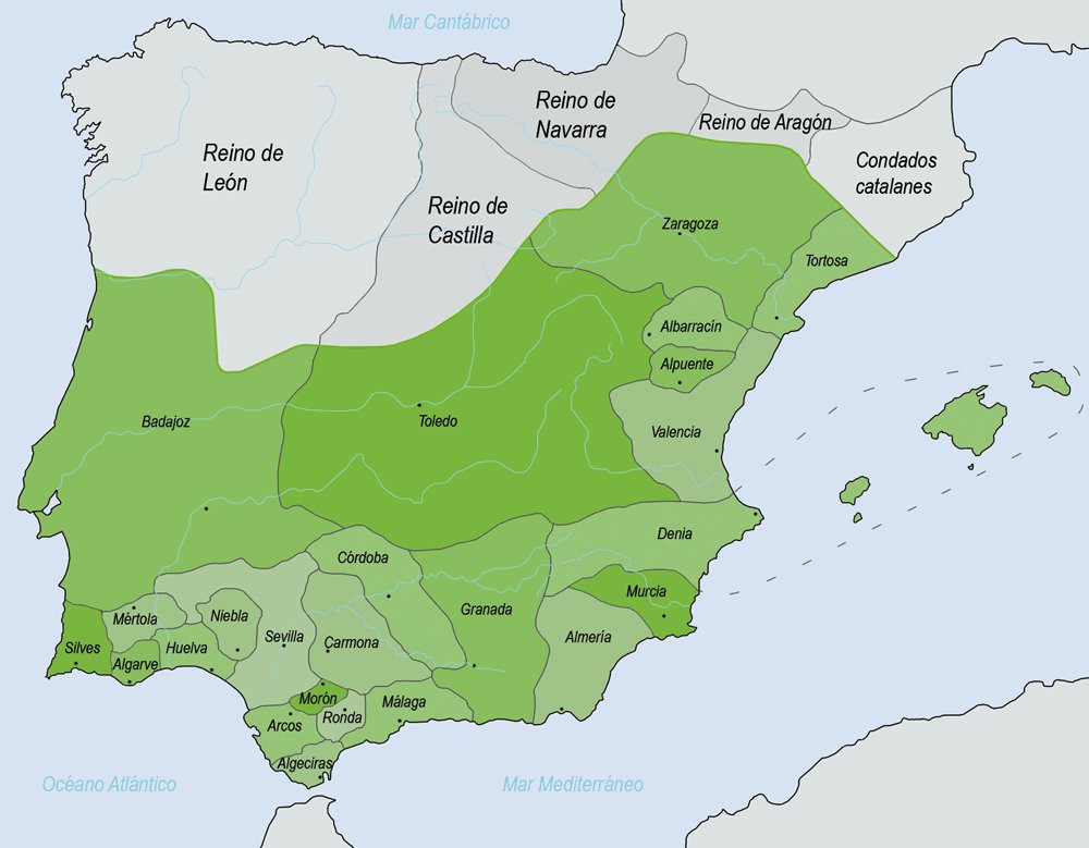
The taifas (green) in 1031 AD

But it was never just one state

Al-Andalus kept changing shape. Over time it was a province, an emirate, a caliphate, then smaller taifa kingdoms, and finally Granada. As northern Christian kingdoms pushed south, the map kept shrinking.

Al-Andalus: 781 Years of Muslim Iberia

Al-Andalus: 781 Years of Muslim Iberia | DeepSwipe