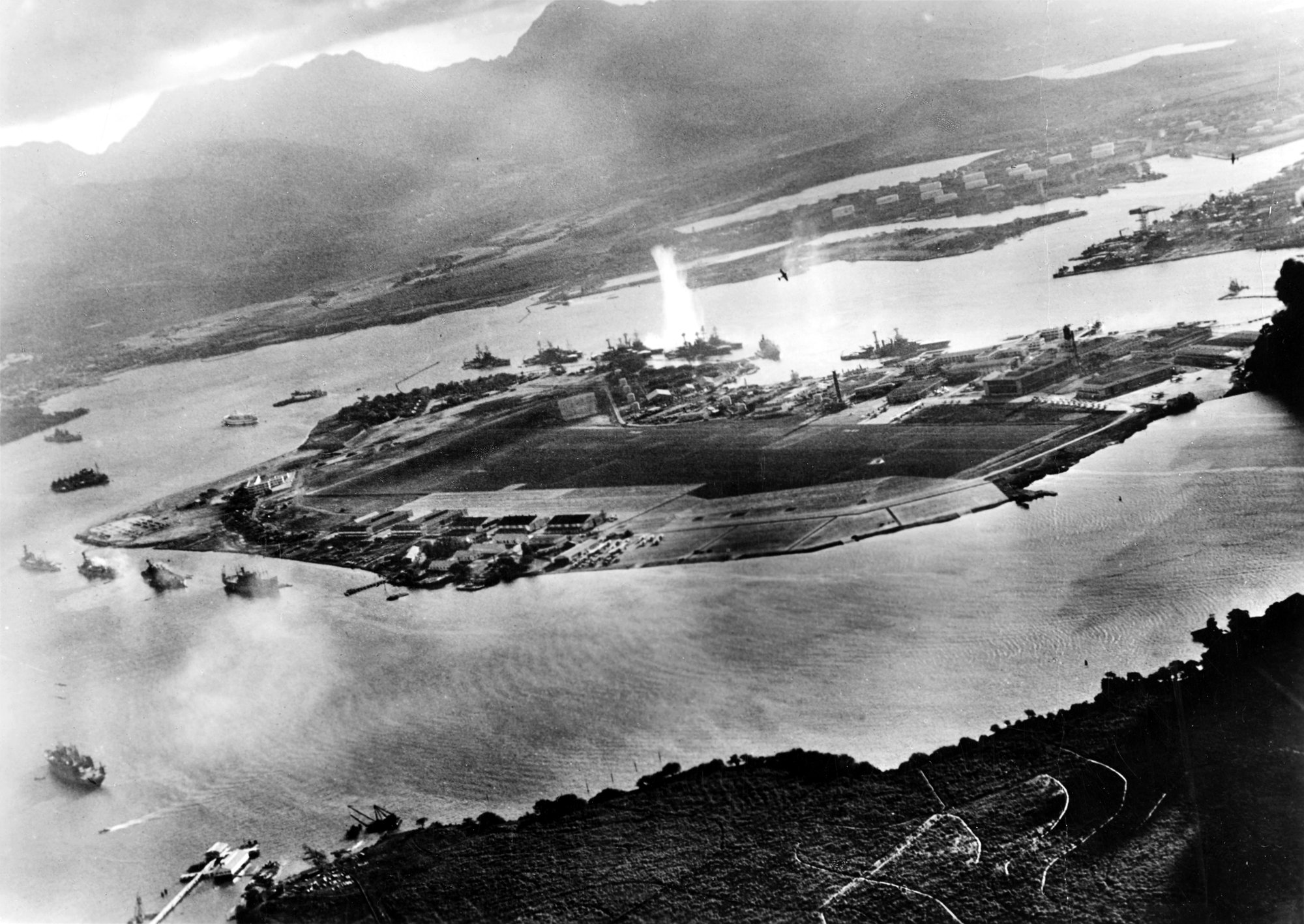
日本は真珠湾攻撃で早期決着を狙った

日本が真珠湾攻撃を行ったのは、指導部が「一撃で米太平洋艦隊を大きく弱らせ、そのすきに東南アジア各地を占領したい」と考えたからでした。こうしてアメリカの邪魔を受けずに素早く勢力を広げようとしたのです。

真珠湾攻撃:日本はなぜ攻撃したのか

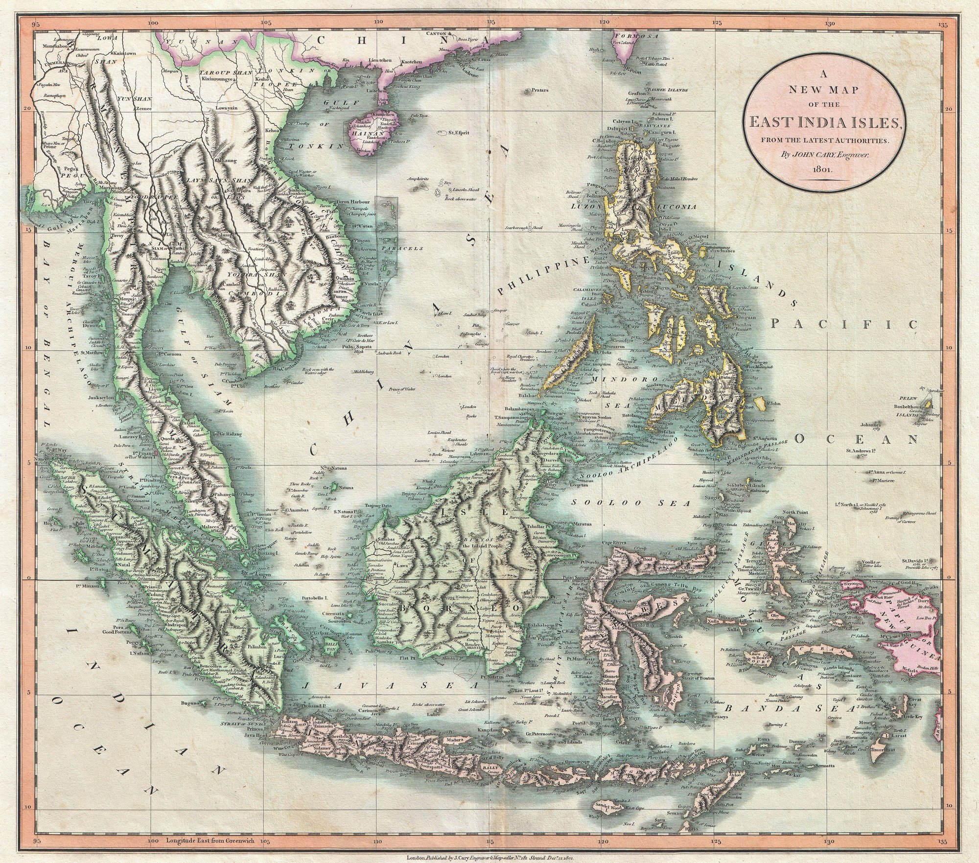
An exceptionally beautiful example of John Cary’s important 1801 Map of the East Indies. Covers all of Southeast Asia and the Malay Peninsula, including Singapore, as well as the Philippines, Borneo, Sumatra, java, the Celebes, and parts of Papua New Guinea. One of the few maps of this region to label the volcanic island of Krakatoa between Java and Sumatra, which famously erupted, obliterating the entire island in 1883. Notes the Straits of Singapore at the southern tip of the Malay Peninsula. Offers wonderful detail regarding the mountain ranges of the region. Also shows some off shore details, especially the shoals near Borneo and the Philippines. In Southeast Asia this map notes the kingdoms of Siam (Thailand), Tonkin (North Vietnam), Cochin (South Vietnam), Cambodia, and Pegu (Burma). Includes part of the Island of Formosa. All in all, one of the most interesting and attractive atlas maps of the East Indies to appear in first years of the 19th century. Prepared in 1801 by John Cary for issue in his magnificent 1808 New Universal Atlas .

本当の狙いは「時間」を稼ぐこと

日本は、蘭印などの資源地帯を占領し、その後、有利な立場から講和交渉をするための時間を稼ごうとしていました。真珠湾攻撃は、アメリカの圧倒的な工業力が本格的に動き出す前に時間をかせぐための一手だったのです。

真珠湾攻撃:日本はなぜ攻撃したのか