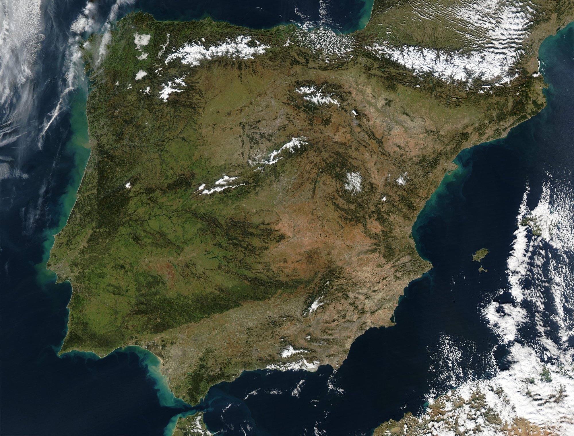
Satellite image of the Iberian Peninsula in January 2003 taken by the MODIS instrument on board NASA's Aqua satellite. NASA's description: The Iberian Peninsula, home to the countries of Spain and Portugal, stretches toward North Africa in this true-color Aqua MODIS image from January 24, 2003. Portugal sits on the Atlantic side of the peninsula, while Spain takes up the rest and shares a border with France to the northeast. At the bottom of the peninsula is a narrow gap between Europe and North Africa. This gap is the Strait of Gibraltar, which also serves as the buffer between the Atlantic Ocean and the Mediterranean Sea. The northern point of Morocco occupies the other side of the Strait, and farther to the east is northern Algeria.

781年も続いた王国

アル=アンダルスは、イベリア半島で711年から1492年まで続きました。最盛期には、現在のスペインとポルトガルの大部分、さらには南フランスの一部にまで広がっていました。

アル=アンダルス:ムスリム支配のイベリア781年

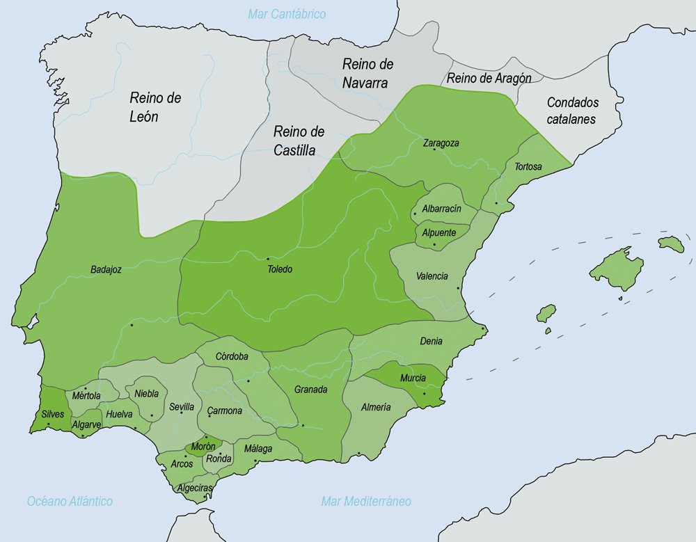
The taifas (green) in 1031 AD

しかし、常にひとつの国家ではなかった

アル=アンダルスの姿はたびたび変わりました。時代とともに、州(属州)、首長国カリフ国家へと変わり、その後は小さなタイファ王国に分かれ、最後にはグラナダだけになりました。北のキリスト教王国が南へ進出するにつれて、その領土は少しずつ狭まっていきました。

アル=アンダルス:ムスリム支配のイベリア781年