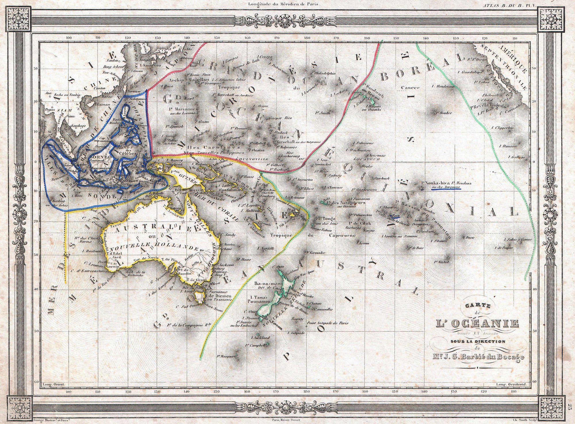
A continent the ocean holds together
Oceania is unique: unlike other continental groupings, it’s the ocean that links its parts together. It spans Australasia, Melanesia, Micronesia, and Polynesia.Oceania: A Continent Linked by Water
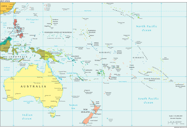
Where does it start and end?
Definitions clash. Some maps stretch from the Aleutians to the Galápagos; others even exclude Hawaii and Easter Island.Oceania: A Continent Linked by Water